

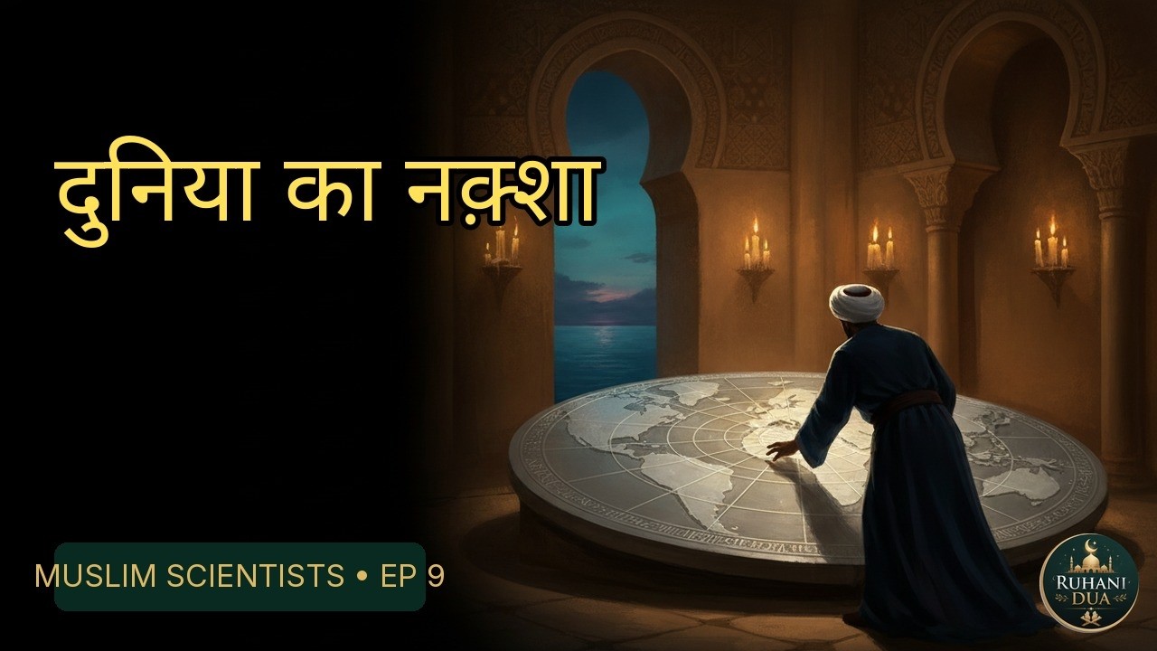
Muhammad al-Idrisi was a 12th-century Muslim geographer, born in Ceuta, who completed the Tabula Rogeriana, a world atlas, in 1154 for the Norman king Roger II of Sicily. The atlas compiles 70 maps of the known world with commentary on each location, and it remained one of the most advanced medieval world maps for centuries.
| Quick fact | Detail |
|---|---|
| Who | Abu Abdullah Muhammad al-Idrisi, born in Ceuta (c. 1100), died c. 1165 |
| What | The Tabula Rogeriana, Arabic title Nuzhat al-Mushtaq fi Ikhtiraq al-Afaq |
| When | Commissioned c. 1138; completed in 1154 |
| Where | Palermo, at the court of Roger II of Sicily |
| Structure | Seven climate zones, each split into ten sections, giving 70 maps |
| Orientation | South at the top, with Mecca in the middle |

Watch the full video: अल-इदरीसी: दुनिया का नक़्शा | Al-Idrisi Documentary Hindi | Muslim Scientists Ep 9 on the Ruhani Dua YouTube channel.
Who was Muhammad al-Idrisi?
Al-Idrisi’s full name was Abu Abdullah Muhammad al-Idrisi al-Qurtubi al-Hasani as-Sabti. He was born in Ceuta, then under the Almoravid dynasty, and his name points to Cordoba and Ceuta (as-Sabti). Sources commonly give his dates as about 1100 to 1165, but these are approximate, so “c.” is the honest way to write them. He travelled in North Africa and Western Europe before joining the court in Sicily.
Why did Roger II commission a world map?
Around 1138, Roger II invited al-Idrisi to Palermo. According to Wikipedia’s summary of the scholarship, al-Idrisi described his travels in North Africa and Western Europe, and this led Roger II to commission an atlas. Sicily at that time was a multicultural kingdom where Arabic, Greek and Latin learning met, which is one reason a Muslim scholar could work there.
Accounts differ on how long the work took. Some sources say the research took about 15 years, while others say al-Idrisi spent 18 years at the court. Both agree that the atlas was finished in 1154, only weeks before Roger died on 26 February 1154.
How was the Tabula Rogeriana made?
Al-Idrisi did not rely on a single book. According to the scholarship summarised on Wikipedia, he interviewed experienced travellers and kept only the parts on which there was complete agreement, leaving out contradictory claims. Roger II sometimes joined these interviews himself, and agents were reportedly sent out to check what travellers reported.
His main written influences were Arabic translations of Ptolemy’s Geography and the Balkhi school of geography, founded in 10th-century Baghdad. This was careful comparison of testimonies, a method of weighing reports that fits the Quranic call to observe the world, discussed below.
What was special about the map itself?
- Seven climate zones: the book follows the older Ptolemaic division into seven “climes”, each with ten sections.
- 70 sectional maps: each section has a two-page map, followed by commentary on the land, people, politics and economy of that region.
- South at the top: the maps are oriented with North at the bottom and Mecca at the centre, which is why the map looks upside down to modern eyes.
- A silver disc: the atlas came with a silver disc engraved with the combined world map, reported at about 300 lb (140 kg). Another source says about 400 pounds, so the exact weight is uncertain.
- Uneven detail: regions near Roger’s kingdom were more accurate than distant ones such as Southeast Asia, reflecting al-Idrisi’s own experience and his patron’s interests.
The original atlas and silver disc were reportedly destroyed during a rebellion in 1160. What we have today are later copies: ten manuscripts survive, the oldest (MS Arabe 2221, Bibliothèque nationale de France) dating to about 1300 or 1325 depending on the source. Al-Idrisi also made a shorter version for Roger’s son William II, known as the “Little Idrisi”.
What does the Quran say about travelling and observing the world?
Al-Idrisi’s work was a scientific project, but Muslims see travel and observation as part of faith. In Surah Al-Ankabut 29:20, Allah tells the Prophet ﷺ to say:
قُلْ سِيرُوا فِي الْأَرْضِ فَانْظُرُوا كَيْفَ بَدَأَ الْخَلْقَ
“Travel throughout the land and see how He originated the creation.” (Surah Al-Ankabut 29:20)
Surah Al-Mulk 67:15 reminds us that Allah made the earth manageable for people, so they can walk in its paths and eat of His provision. And Surah Al-Hujurat 49:13 explains that Allah made people into peoples and tribes so that they may get to know one another, adding that the most noble in His sight is the most righteous. A geographer who records the peoples and lands of the world is, in a sense, working in the space these ayahs open up.
What do authentic hadith say about seeking knowledge?
In Sahih Muslim 2699, Abu Hurairah (RA) reports that the Prophet ﷺ said: whoever travels a path seeking knowledge, Allah will make easy for him a path to Paradise. Sunan Abi Dawud 3641, graded sahih by al-Albani, adds that the angels lower their wings in approval of the seeker of knowledge. These hadith speak of sincere, beneficial knowledge in general. They do not say that any particular map or invention carries a special reward, so we should not claim more than the text does.
What is al-Idrisi’s legacy?
The book was widely copied and used. A partial Latin translation was printed in Paris in 1619 by Gabriel Sionita, and it was later translated into several European languages. Some modern writers claim it “hinted at gravity” or give a precise Earth circumference of 37,000 km. These claims appear in popular summaries, but they are debated and should be treated with caution. What is firmly attested is the atlas’s careful method, its 70 maps and its long influence.
Lessons for us today
- Verify before you believe. Al-Idrisi kept only what travellers agreed on. We can apply the same care to what we read and share.
- Patience in knowledge. A project of well over a decade teaches that real learning takes time.
- Knowledge serves understanding between peoples. Surah Al-Hujurat 49:13 frames human diversity as a reason to know one another, not to look down on anyone.
- Keep the intention sincere. Sahih Muslim 2699 ties the reward to seeking knowledge, so the intention matters as much as the result.
FAQ
Why is the Tabula Rogeriana drawn upside down?
It is not upside down by design error. The maps place South at the top and North at the bottom, with Mecca at the centre. This was a common convention in medieval Islamic cartography.
Was al-Idrisi a Muslim working for a Christian king?
Yes. Roger II was a Norman Christian king of Sicily who kept a diverse court. Al-Idrisi accepted his invitation to Palermo and wrote the atlas in Arabic.
Does the original map still exist?
No. The original atlas and silver disc were reportedly destroyed in 1160. Ten later manuscript copies survive, and the most complete one, with the world map and all 70 sectional maps, is kept in Istanbul.
Read more:
- Al-Farghani (Alfraganus): The Astronomer Whose Book Taught Europe the Sky
- Abd al-Rahman al-Sufi (Azophi): The Astronomer Who Drew the Stars and Spotted Andromeda
Sources:
- Quran 29:20, Surah Al-Ankabut
- Quran 67:15, Surah Al-Mulk
- Quran 49:13, Surah Al-Hujurat
- Sahih Muslim 2699
- Sunan Abi Dawud 3641
- Tabula Rogeriana (Wikipedia, citing Houben 2002 and Ahmad 1992)
- History of Information: The Kitab Rudjdjar
Follow Ruhani Dua on Facebook for short videos and reminders. / रूहानी दुआ को Facebook पर Follow करें।



Leave a Reply